
Spain
Vía de la Plata
The dedicated Wise Pilgrim guide to the Vía de la Plata — the original Camino app, rebuilt for 2026, with every word of the printed guidebook, offline maps, and more, right on your phone.
- Distance
- 960 km
- Stages
- 34
- From
- Sevilla
- To
- Santiago de Compostela
About this Camino
The longest of the main routes, running north from Sevilla up the old Roman silver road through the oak dehesa of Extremadura, past Roman Mérida and Cáceres, then Salamanca and Zamora, before splitting toward Ourense on the Sanabrés or the Francés at Astorga. Big distances, deep solitude, and Roman history underfoot.
- Roman Mérida and walled Cáceres
- The vast oak dehesa of Extremadura
- Long, solitary stages with few pilgrims
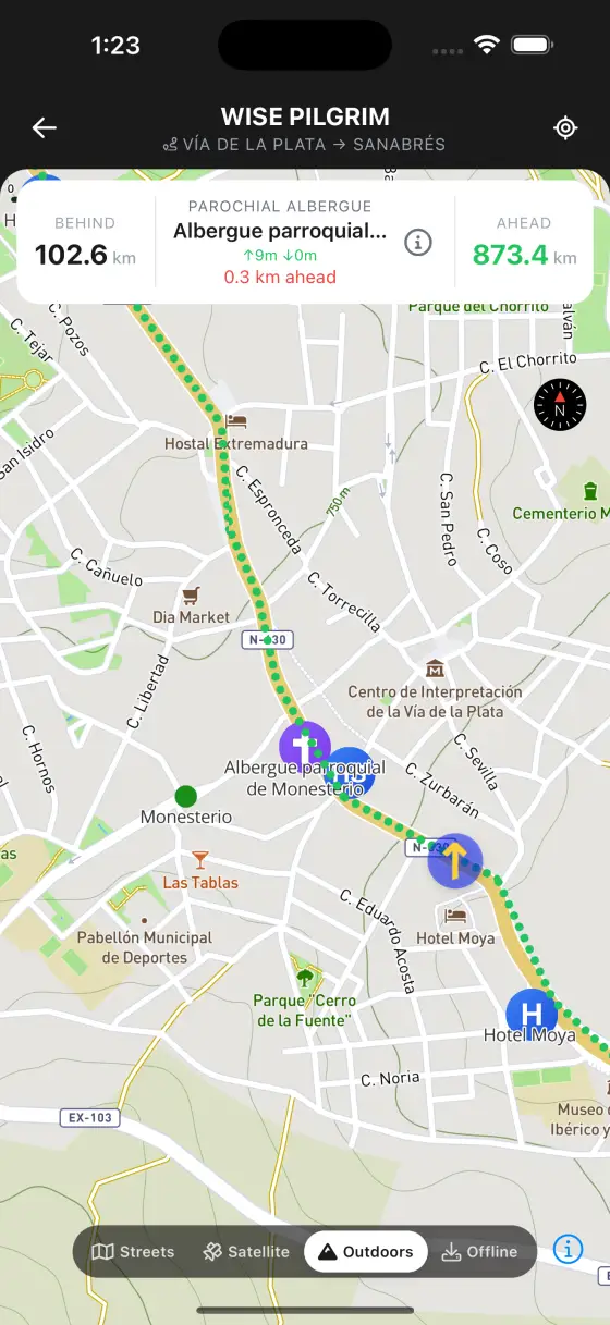
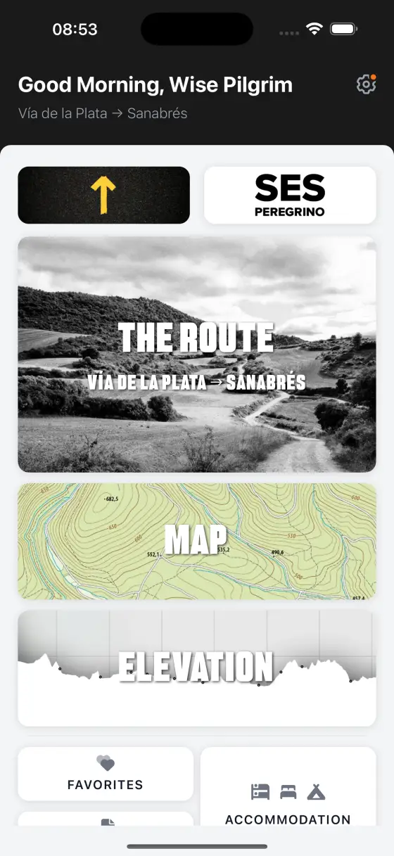
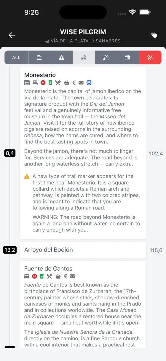
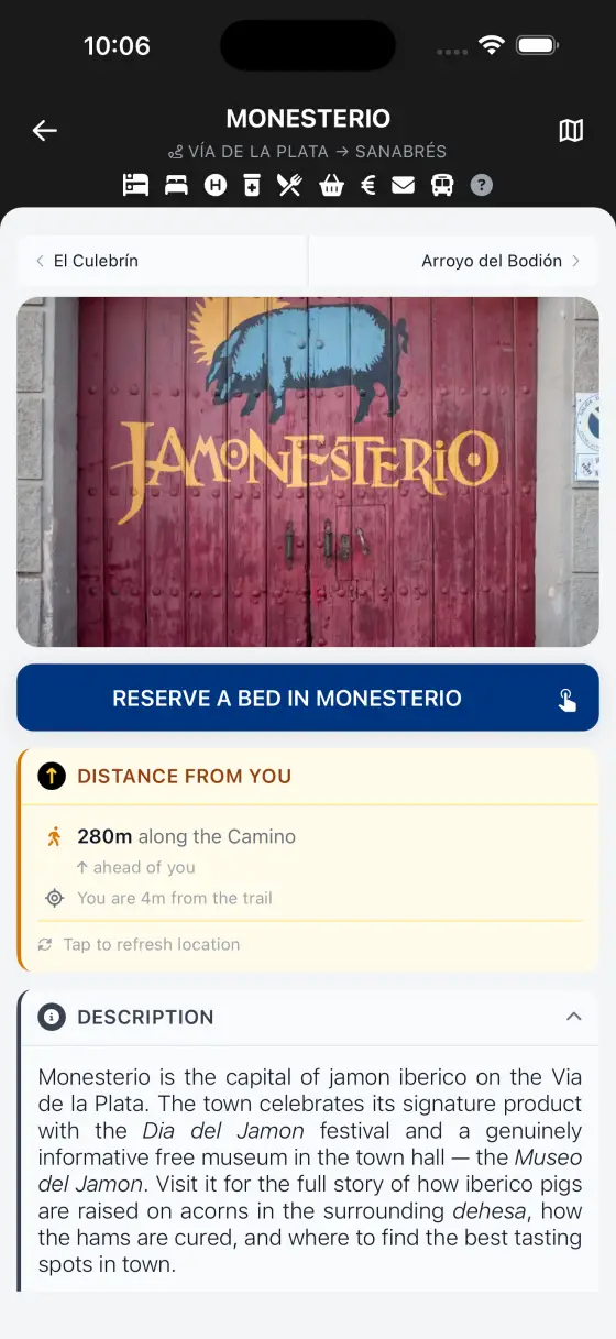
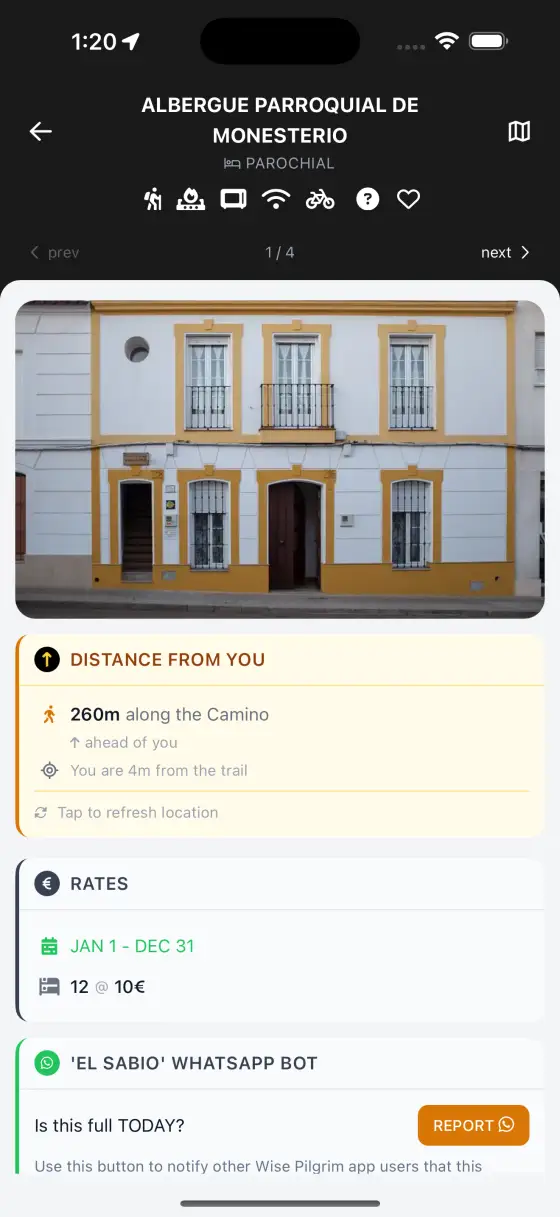
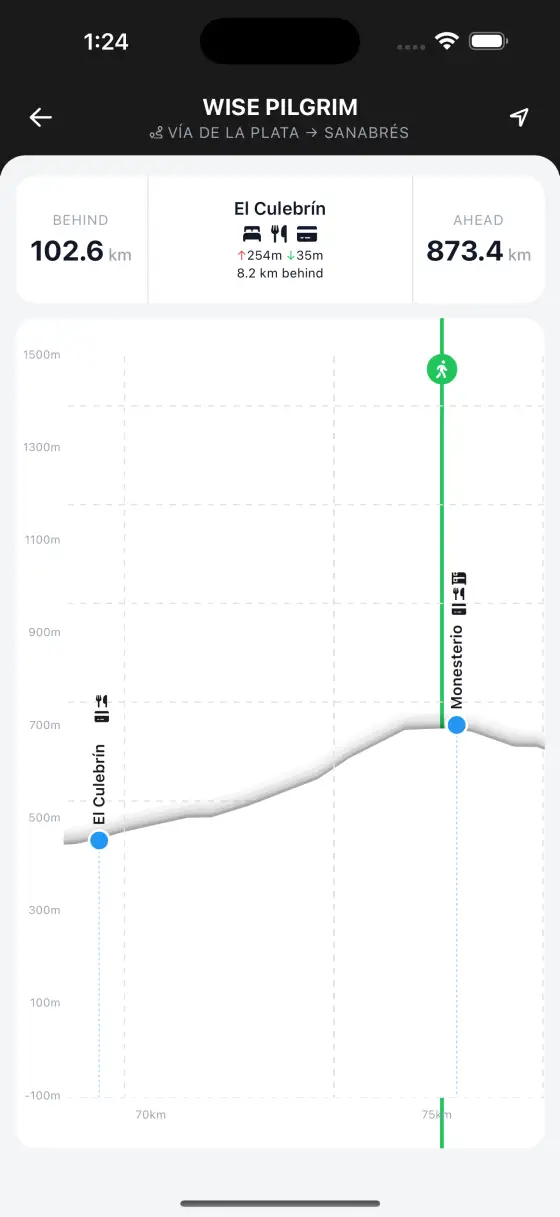
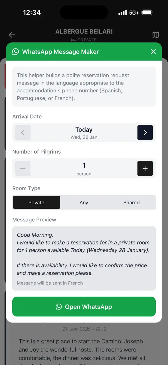
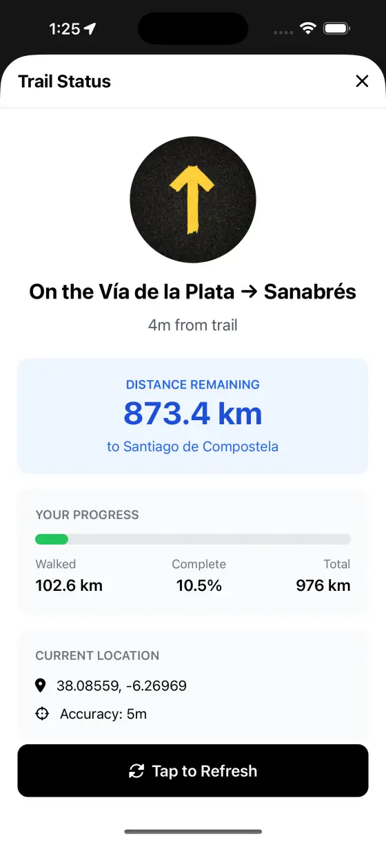
Every screen, all along the Vía de la Plata
Real screens from the guide — maps, elevation, accommodation, and the rest.
What's inside the guide
Weather forecast
NewA 7-day forecast for the route ahead, plus the next 2½ days hour by hour — so you know whether to start at dawn or wait out the rain.
Build your own stages
Every word of the printed Wise Pilgrim book, without fixed daily stages — so you walk the distances that suit you, and the itinerary planner builds the route around the stages you choose.
Itinerary planner
Plan your stages right in the app, or import the plan you built on wisepilgrim.com.
Hundreds of photos, all offline
900+ photos of albergues, landmarks, and the path itself — stored on your phone, so they load with no signal.
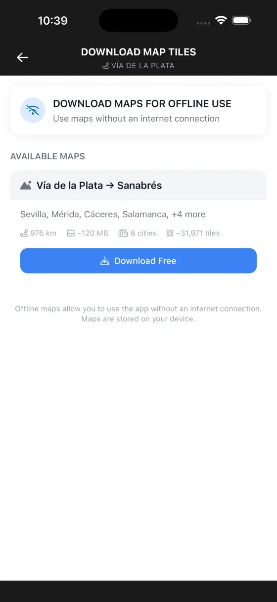
Offline maps included
The downloadable paper-relief topographical maps come with the guide, at no extra cost.
Notes
Leave a note on any town, albergue, or stop, or drop a pin for water, a viewpoint, a photo spot. Every note gathers on one page in order along your Camino — searchable, exportable, and private to your phone.
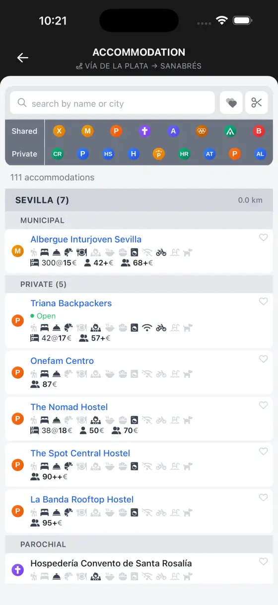
The full accommodation directory
Every albergue, pension, hotel, and casa rural on the route — searchable, with the ones you can book online flagged.
Pronunciation guide
How to say every place name on the Camino — so you can ask for it, and recognise it when a local says it back.
Every pharmacy, mapped
Pharmacies along the route on the map, with opening hours and contact details for the moment you actually need one.
Points of interest on the map
The map shows fountains, picnic areas, historical sites, ATMs, lookouts and more, right where they are on the trail.
Other Caminos to explore
Walk the Vía de la Plata, guided.
Download the dedicated guide and carry the original Camino app with you.